Facade Thermal Inspection
AT W-LAB we work with thermal Drones equipped with high-resolution thermal cameras. With them we can perform facade inspections at high altitudes even beyond Eyesight. We can also check roofs and evaluate their current Thermal performance detecting any issues.
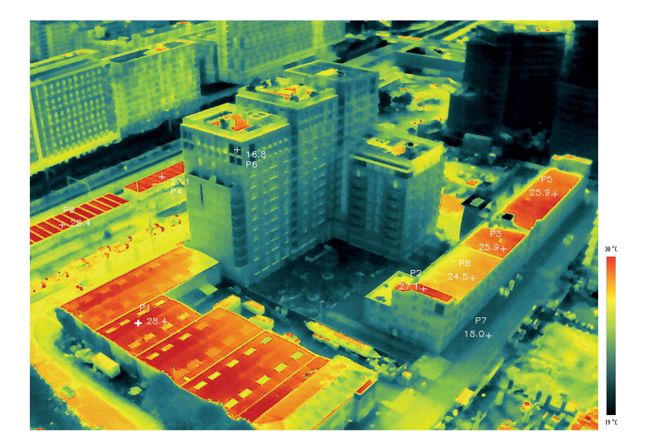
Thermal information gets stored in Radiometric JPEG files with contain the temperature stored per pixel. Thanks to this we can perform different analysis operations and consult information in image date sets we generate with the thermal drone. This allow us to measure Min, and Max temperature in an image and detect unusual temperatures to inform engineers of the findings during one inspection.
On the other hand is also possible to measure average temperature within a polygon drawn in the image.
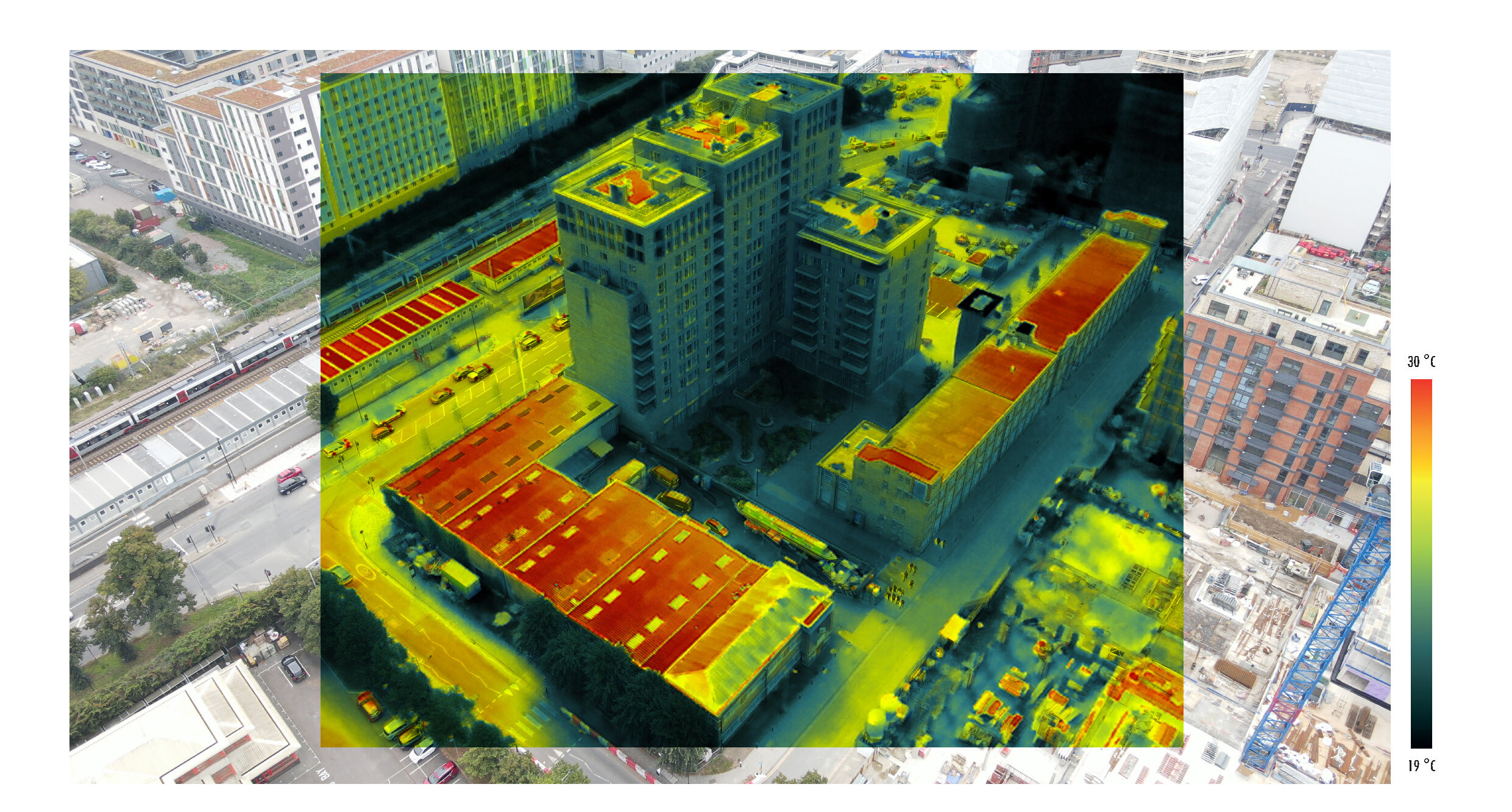
We can Evaluate how the surface of a building deal with thermal insulation, Solar exposure and the heat island effect, using Thermal Drone surveying. Using Drones we can take shots at high altitudes reducing operative risks without the need of having engineers climbing cranes or scaffoldings
This thermal maps show buidlings under cosntruction in London.
Get in touch for more details and to understand how we can help you with your Thermal survey.


